Description
Communicate globally from your helm
- Small, rugged, lightweight satellite communicator enables two-way text messaging via global Iridium® satellite network (satellite subscription required)
- Trigger an interactive SOS to the 24/7 search and rescue monitoring centre (satellite subscription required)
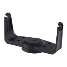
- Includes screw down mount and 12-volt power cable for easy installation
- Access downloadable maps, marine charts, colour aerial imagery and more by using the free Earthmate® app and compatible devices
- Optional inReach weather forecast service provides detailed updates directly to your inReach Mini or paired device; basic and premium weather packages are available
- Send and receive inReach messages through compatible Garmin devices, including connected wearables and handhelds
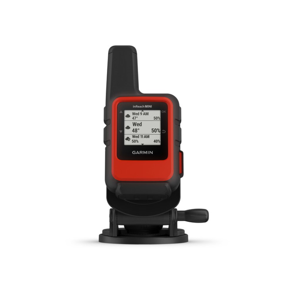
The inReach Mini Marine Bundle adds peace of mind to your adventures without taking up space on your helm. The rugged, compact satellite communicator lets you send and receive text messages, track and share your journey and, if necessary, trigger an SOS alert to the GEOS 24/7 emergency response team.
Made for your boat
Easily secure inReach Mini to your helm with the included screw down mount, and keep it charged with the 12-volt power cable. If you’re not plugged into the power cable, the internal, rechargeable lithium battery lasts for up to 90 hours at the default 10-minute tracking mode and up to 24 days in power saving mode.
inReach Mini measures just under 10 cm tall by 5 cm wide and weighs a mere 100 g, so it won’t take up valuable space on your boat. Plus, it’s impact resistant and water-rated to IPX7 for durability you can rely on.
Who will answer your SOS? GEOS will
GEOS is the world leader in emergency response solutions and monitoring. They’ve supported rescues in more than 140 countries, saving many lives in the process. They’re standing by 24/7 to respond to your SOS, track your device and notify the proper contacts as well as emergency responders in your area. Once you trigger a distress signal, they’ll confirm that help is on the way and continually update you on the status of your response team.
Multiple ways to connect
Wireless unit-to-unit connectivity lets you remotely control inReach Mini to send and receive messages using compatible Garmin chartplotters, handhelds, wearables or other mobile devices. GPS-based location tracking lets you share your whereabouts with those at home or on the water. You can also post your journey on social media.
Pair with your mobile device
Use the free Earthmate app to sync your inReach Mini with a compatible mobile device via Bluetooth® wireless technology and gain access to unlimited maps, aerial imagery and marine charts. Once paired, you can use all the inReach features on your paired mobile device and access your phone’s contact list for easier messaging on your inReach Mini.
Weather on the go
The optional inReach weather forecast service provides detailed updates directly to your inReach Mini or a compatible device paired with the Earthmate app. Basic and premium weather packages are available. You can request weather forecasts for your current location or any other waypoints or destinations on your itinerary so you’ll know what conditions to expect.
Flexible satellite airtime plans
To access the Iridium network and communicate with your inReach Mini, an active satellite subscription is required. Depending on your usage level, you can opt for an annual contract package or flexible month-to-month airtime plan.
Unlimited cloud storage and trip planning
Every inReach device comes with free access to the cloud-powered Garmin Explore™ website to plan your trips with routes and waypoints, create preset messages and quick texts, sync and manage your device settings, update your firmware, link your social media accounts, store all your location tracking data and much more.