Description
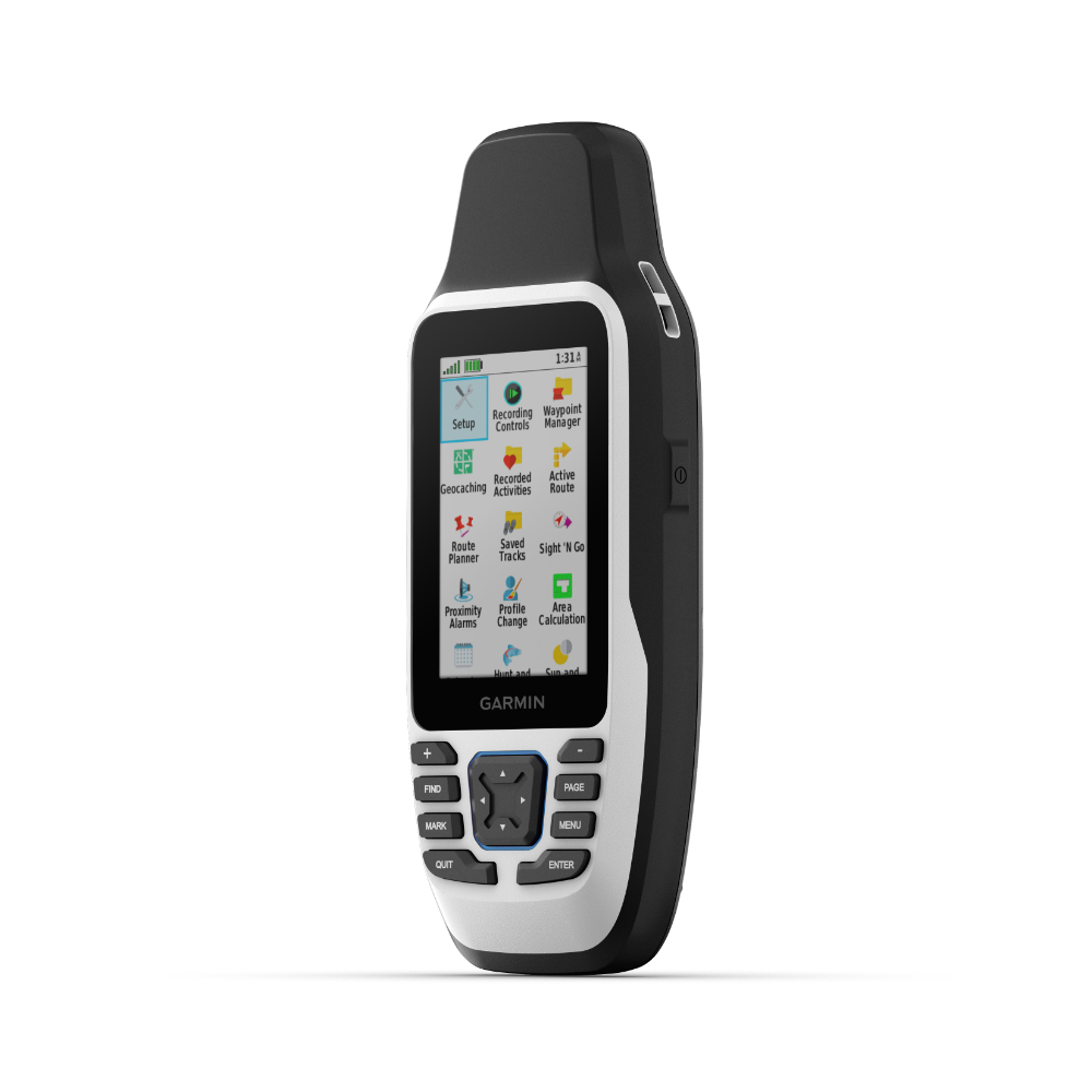
- Physical Dimensions: 6.77 x 17.40 x 4.23 cm
- Display Size: 3.8 x 6.3 cm; 3″ diag (7.6 cm)
- Display Resolution: 240 x 400 pixels
- Display Type: Transflective, 65K colour TFT
- Weight: 282g with batteries
- Battery Type: 2 AA batteries (not included); NiMH or Lithium recommended
- Battery Life: Up to 19 hours
- Water Rating: IPX7
- MIL-STD-810: Yes (thermal, shock, water); bare unit only
- Interface: High speed microUSB and NMEA 0183 compatible
- Memory/History: 8 GB
Cast Off Confidently
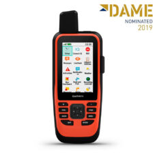
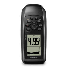
Stay on course, and track more adventures with the GPSMAP® 79s rugged, floating handheld.
- It’s water-resistant, it floats, and it’s fogproof, so it belongs on the water
- This thing can remember up to 10,000 waypoints and more.
- It’s nice to have reliable positioning when out on the water.
- The built-in compass will point in the right direction.
- Get the best of Garmin and Navionics® data with optional BlueChart® g3 charts.
- Stay out longer with up to 19 hours of battery life in GPS mode.
Built for life on the boat.
Rugged Handheld: This handheld is water-resistant IPX7 with a high-resolution colour display that can be read in the sun. The glass is even scratch-resistant and fogproof.
Designed to Float: If rough waters come and the handheld goes overboard, don’t worry. This device floats.
Battery Life: User-replaceable AA batteries (not included) provide up to 19 hours of battery life in GPS tracking mode.
Exactly what is needed to navigate.
Accurate Tracking: With support for multiple satellite constellations — such as GPS, GLONASS, Beidou, Galileo, QZSS and SBAS — Get accurate, reliable tracking and positioning around the world.
Increased Memory: More memory than previous models, Save and track 10,000 waypoints, 250 routes and 300 fitness activity files.
Built-In Compass: The 3-axis tilt-compensated electronic compass shows the heading — even while the boat is standing still.
