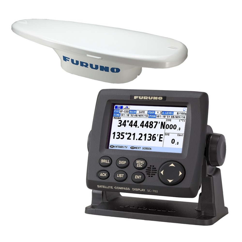
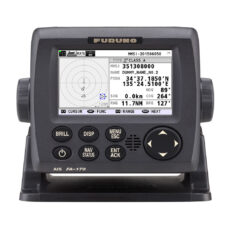
Description
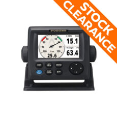
- Display: 4.3-inch color LCD, 95 x 87.12mm
- Resoloution: 480 x 272 dots (WQVGA)
- Heading Accuracy: 0.4
- Heading Resolution: 0.1°, 0.01°, 0.001° (select from menu)
- Follow-up: 40°/s
- Settling time: 90 s approx. (typical)
- Position Accuracy: GPS 10m approx. (2DRMS, HDOP<4), DGPS 5m approx. (2DRMS, HDOP<4), WAAS 3m approx. (2DRMS, HDOP<4), MSAS 7m approx. (2DRMS, HDOP<4)
- Temperature: Antenna Unit: -25°C to +55°C (storage: -25°C to +70°C), Display Unit/ Junction Box: -15°C +55°C
- Waterproofing: Antenna Unit : IP56, Display Unit : IP22 (IP35 : option), Processor Unit : IP20 (IP22 : bulkhead mount)
- Power Supply: 12-24 VDC: 2.1 – 1.1A (included Antenna Unit and Display Unit)
- Weight: Display Unit: 0.7 kg, Junction Box: 2.9 kg, Antenna Unit (SC-703): 2.8 kg
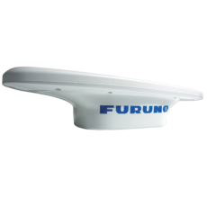
The SC-70 is built on Furuno’s commercial grade technology platform to improve the accuracy of other devices such as Radar, ARPA, Scanning Sonar, Current Indicators, Chart Plotters, ECDIS and Autopilots. They provide a highly accurate heading input to these other technologies by utilizing the very latest GNSS (Global Navigation Satellite System). This satellite system is comprised of GPS, Galileo, and GLONASS to ensure the higher percision and a continuous coverage.
The SC-70 provides a variety of data, including GPS Positioning, SOG (Speed Over Ground), COG (Course Over Ground), ROT (Rate of Turn), and 3-axis speed (Bow, stern and longitudinal). All of this data assist with critical maneuvers, such as berthing. The compass is mainenance free and is a great asset for any vessel.
